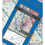
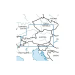
VFR aeronautical chart Austria 500k
Details:
-
Aeronautical chart of Austria at a scale of 1:500,000
-
Compliant with ICAO Annex 4, European regulations and the aeronautical information published in the AIP
-
Detailed topographic background with hill shading and relief for clear reading of the terrain
-
Accurate depiction of airspace
-
VFR sectors around airports
-
Reporting points, danger and restricted areas, border crossing points
-
Shows gliding, hang-gliding and air sports areas, as well as protected nature areas with their aviation restrictions
-
TRAs (temporary areas reserved for civil aviation) included