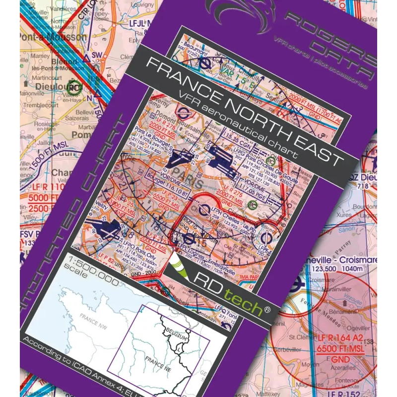
Navigation chart at 1:500,000 compliant with ICAO standards, European regulations and AIP data.
It accurately shows the airspace structure, restricted areas, airports, aerodromes, heliports, as well as radio aids, reporting points and obstacles.
CHF 34.50
Available on backorder
Delivery time: In stock: 1–2 days, otherwise 6–8 days
Description
Special features of this region:
Temporary reserved civil airspace (TRA), aviation and recreational activity areas, model flying sites, and military training and exercise areas.
All Rogers Data 500k VFR aeronautical charts are designed to the following criteria:
Scale 1:500,000, compliant with ICAO Annex 4, European regulations and AIP information.
Detailed depiction of the airspace structure with a shaded-relief topographic background.
Airports, aerodromes and heliports with full details.
Radio navigation aids with name, frequency and Morse code.
Compulsory and on-request reporting points, landmarks and border crossing points.
Danger and restricted areas, obstacles or groups of obstacles, minimum sector altitudes and isogonic lines with magnetic variation.