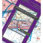
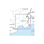
Navigation chart at 1:500,000, compliant with ICAO standards, European regulations and AIP information.
It gives an accurate depiction of the airspace structure, restricted areas, airports, aerodromes, heliports and radio aids with frequencies and Morse codes.

CHF 34.50
Available on backorder
Navigation chart at 1:500,000, compliant with ICAO standards, European regulations and AIP information.
It gives an accurate depiction of the airspace structure, restricted areas, airports, aerodromes, heliports and radio aids with frequencies and Morse codes.

The shaded-relief topographic background makes reading and planning easier.
Includes temporary reserved airspace (TRA), military areas, recreational flying areas and major obstacles.
Perfect for navigating and planning VFR flights in south-west France.


What are you looking for?