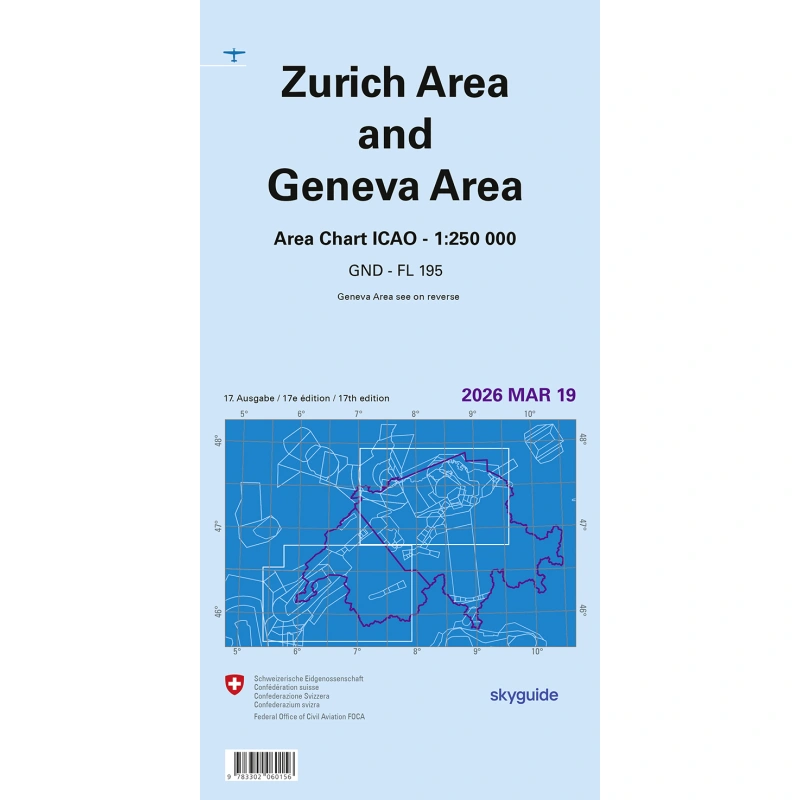
The aeronautical chart of Switzerland provides essential flight safety information intended specifically for pilots. A clear, well-structured base map shows airports, aerodromes, airspace and their classifications, as well as prohibited and danger areas, obstacles and much other useful navigation data.
The 2026 chart is available.

CHF 15.00
2 in stock (can be backordered)
The Area Chart Zurich and Geneva 2026 is a detailed chart of the Geneva and Zurich airspace at 1:200,000. It is updated every year by skyguide and swisstopo.
It is an essential tool for flying safely around Switzerland’s major TMAs. Pair it with the Swiss ICAO chart, or choose our combo of both charts.


What are you looking for?